Total Solar Eclipse of 2017
Project #1633 on iSENSEProject.org
Background:
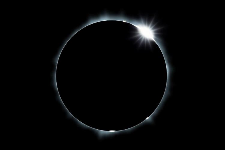
"Sometimes when the moon orbits Earth, it moves between the sun and Earth. When this happens, the moon blocks the light of the sun from reaching Earth. This causes an eclipse of the sun, or solar eclipse. During a solar eclipse, the moon casts a shadow onto Earth. A total solar eclipse is only visible from a small area on Earth. The people who see the total eclipse are in the center of the moon’s shadow when it hits Earth. The sky becomes very dark, as if it were night. For a total eclipse to take place, the sun, moon and Earth must be in a direct line." (NASA.gov)
A total solar eclipse is set to occur on August 21, 2017, which will cross the entire continental United States, observable from the west coast to the east coast. Individuals interested in viewing the total solar eclipse will need to travel to a location which falls within the path, which is only 100 miles wide. Some possible vacation destinations have been provided in this iSENSE project, but to visualize all locations possible, visit NASA's website via:
http://eclipse.gsfc.nasa.gov/SEgoogle/SEgoogle2001/SE2017Aug21Tgoogle.html.
GUIDING QUESTIONS:
IMPORTANT: On the map, the first destination to experience the total solar eclipse will be Salem, Oregon; the last destination will be Bulls Island, South Carolina.
1. Describe the relative locations of the starting and ending locations of the total solar eclipse, in the United States.
2. Using Primary InterCardinal directions (NW, NE, SW or SE), what direction will the path of the total solar eclipse travel?
3. Considering the moon's revolution, explain why Salem, Oregon, will be the first of these locations to experience the total solar eclipse.
4. What percentage of the locations on the map, are state capitals?
5. If you were able to travel to one of the locations on this map to view the total solar eclipse, which one would it be, and why?
Source:
https://www.nasa.gov/audience/forstudents/5-8/features/nasa-knows/what-is-an-eclipse-58
| Name | Units | Type of Data |
|---|---|---|
|
Latitude
|
deg
|
Latitude
|
|
Longitude
|
deg
|
Longitude
|
| Latitude | Longitude |