Merrimack River Data - Lowell Stations
Project #450 on iSENSEProject.org
Description
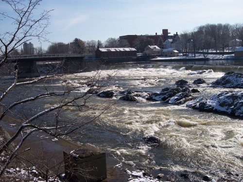
This data set contains water quality indicators collected at six sampling locations on the Merrimack River from May to October 2008. The six sampling locations are in Lowell or just outside of Lowell. Indicators include temperature, special conductivity, total dissolved solids, salinity, dissolved oxygen, and pH.
Data provided by the Merrimack Valley Watershed Council.Fields
| Name | Units | Type of Data |
|---|---|---|
|
Date
|
|
Timestamp
|
|
Month Number
|
None
|
Number
|
|
Temperature
|
None
|
Number
|
|
Special Conductivity
|
None
|
Number
|
|
Total Dissolved Solids
|
None
|
Number
|
|
Salinity
|
None
|
Number
|
|
DO
|
None
|
Number
|
|
pH
|
None
|
Number
|
|
Month Name
|
|
Text
|
|
Station Name
|
|
Text
|
|
Latitude
|
|
Latitude
|
|
Longitude
|
|
Longitude
|
Our Data
Name(s): ______________________________________
Date: _________________________________________
| Date | Month Number | Temperature | Special Conductivity | Total Dissolved Solids | Salinity | DO | pH | Month Name | Station Name | Latitude | Longitude |