My 2.8 run: timestamp data
Project #1683 on iSENSEProject.org
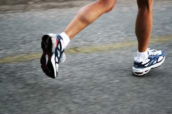
This map tracks my 2.8 mile run with my Girls on Track team on Nov. 17, 2015. Data points are at 2 minute intervals. My intent was to track the consistency of my run. Was I running at a consistent pace throughout the run? Did hills noticeably affect my pace?
Data was collected using MapMyFitness, an app on my phone that I carry with me when I run. Once tracked, I can see details of my run on my computer, including altitude, time, and distance at any point of the run. I then cross-referenced the two-minute markers with points on Google Maps, where I was able to obtain latitude and longitude information.
This was all manual entry!
Guiding questions:
1. At what point along the timeline was the highest altitude of the run?
2. Was my pace consistent? (answer: YES!)
3. Look at the map: approximately where along the route is the 1 mile mark? The 2 mile mark?
| Name | Units | Type of Data |
|---|---|---|
|
elevation
|
feet
|
Number
|
|
distance
|
miles
|
Number
|
|
Timestamp
|
|
Timestamp
|
|
Latitude
|
|
Latitude
|
|
Longitude
|
|
Longitude
|
| elevation | distance | Timestamp | Latitude | Longitude |