 famous
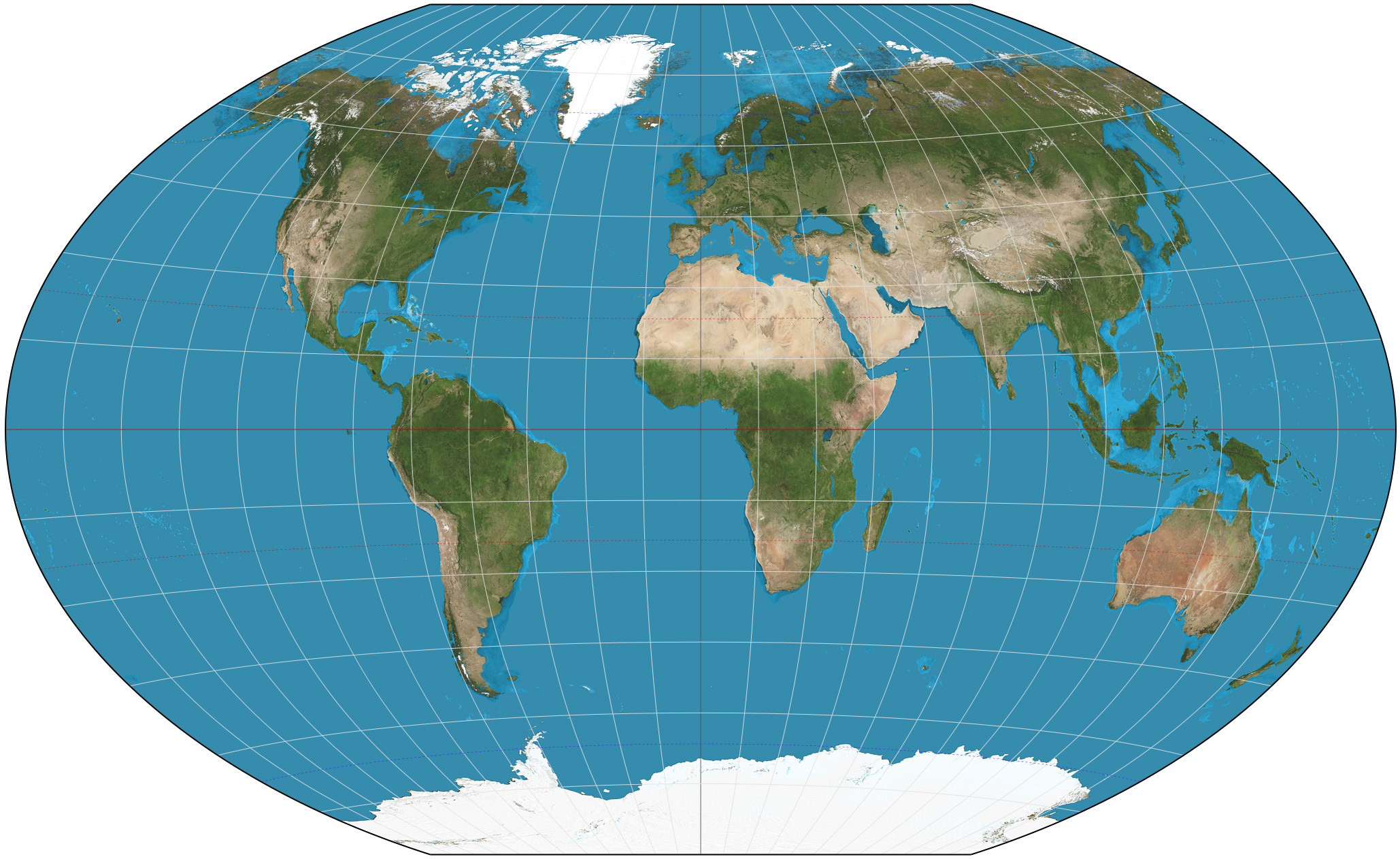
Monumental Exploration
Project #1762 on iSENSEProject.org
Explore World Geography Maps, Monuments and More
In this project, students will research given world wide monuments, country location, latitude, longitude, language spoken, climate and population. Students will populate a google sheet and then work with a partner and transfer their information in isense. Groups will be given either one or two monuments to work on in isense. When students are done, they will be able to make sense of data by understanding questions that are given to them via google sheets while they are viewing their data visualizations.
As an extension to this project, students can create a google presentation making a table of contents and linking topics to slides with summaries etc. of each landmark and monument.
https://docs.google.com/a/methuen.k12.ma.us/forms/d/1gBwVLZiepsGsUcgVVWTu_ORpvZekMzUMlJSXpA6Pk_A/edit
| Name | Units | Type of Data |
|---|---|---|
|
Climate
|
None
|
Text
|
|
Population
|
Millions
|
Number
|
|
Latitude
|
|
Latitude
|
|
Longitude
|
|
Longitude
|
|
Location
|
|
Text
|
|
Monument
|
|
Text
|
| Climate | Population | Latitude | Longitude | Location | Monument |